Issue 01 · Running · Denver
Your Strava ego
is about to get destroyed.
Altitude changes everything. Watch.

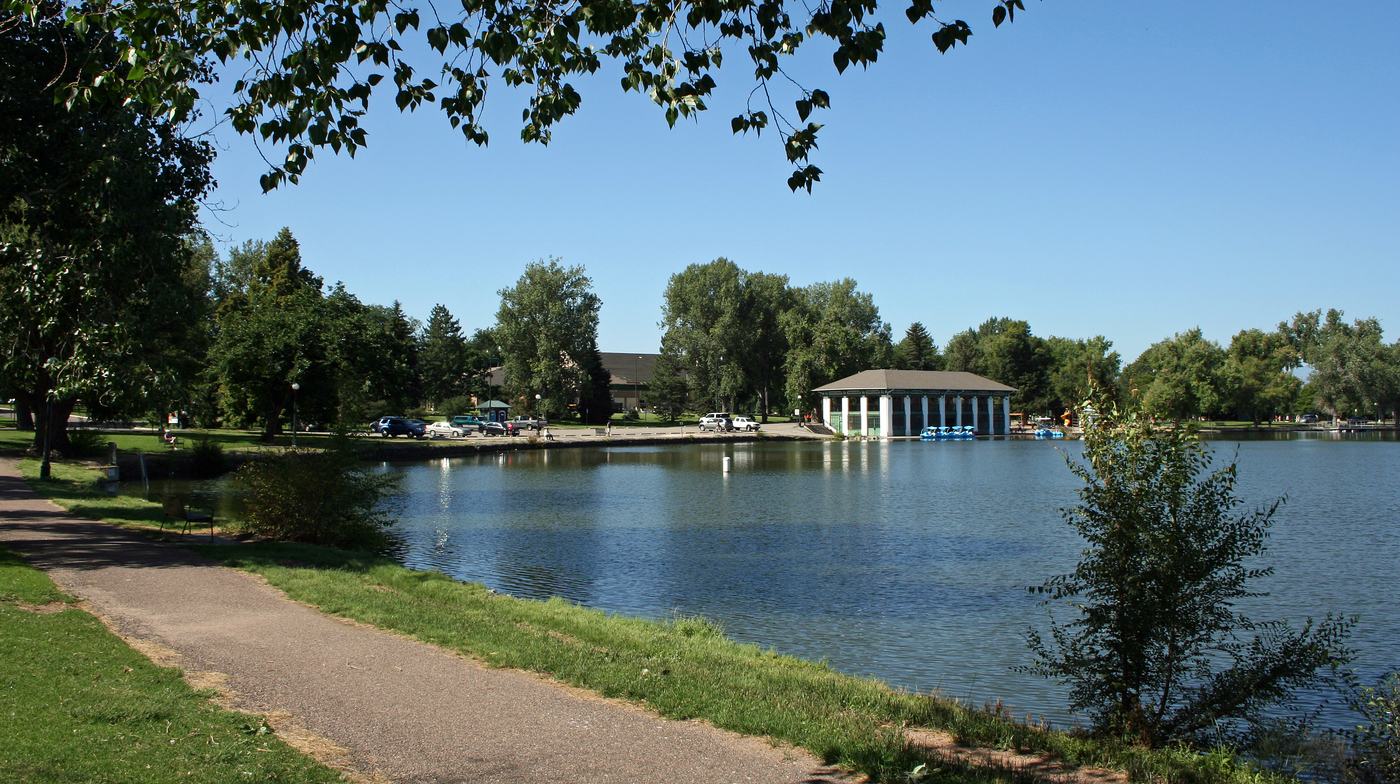
Every one of these routes ends the same way: the mountains do not get closer, you just get better at looking at them. Photo: Bryan.simmons, CC BY-SA 3.0, via Wikimedia Commons
A. The instrument
Your lungs don't read a map. They read an altimeter.
Foothills towns like Evergreen sit around 7,200 ft. Leadville, the highest incorporated city in North America and home of the Leadville Trail 100, sits at 10,152 ft. Every foot on this dial changes how much oxygen is in the air a runner is breathing.
B. The ego destroyer
The pace on your phone was set somewhere else.
This is not a scientific prediction, it is what nearly every relocated runner reports for the first several weeks: the same effort, a slower number. Less oxygen per breath means your heart works harder for a pace that used to feel easy. It comes back. It just is not instant, and nobody's Strava caption says that part.
C. The collision
Running became nightlife. Nobody sent a memo.
Strava's own 2025 Year in Sport report counted run clubs on its platform crossing one million, up from roughly a quarter of that the year before. Diplo's Run Club turned a 5K into a touring event with a Denver stop this year. The line between a run club and a night out mostly disappeared.
Field notes
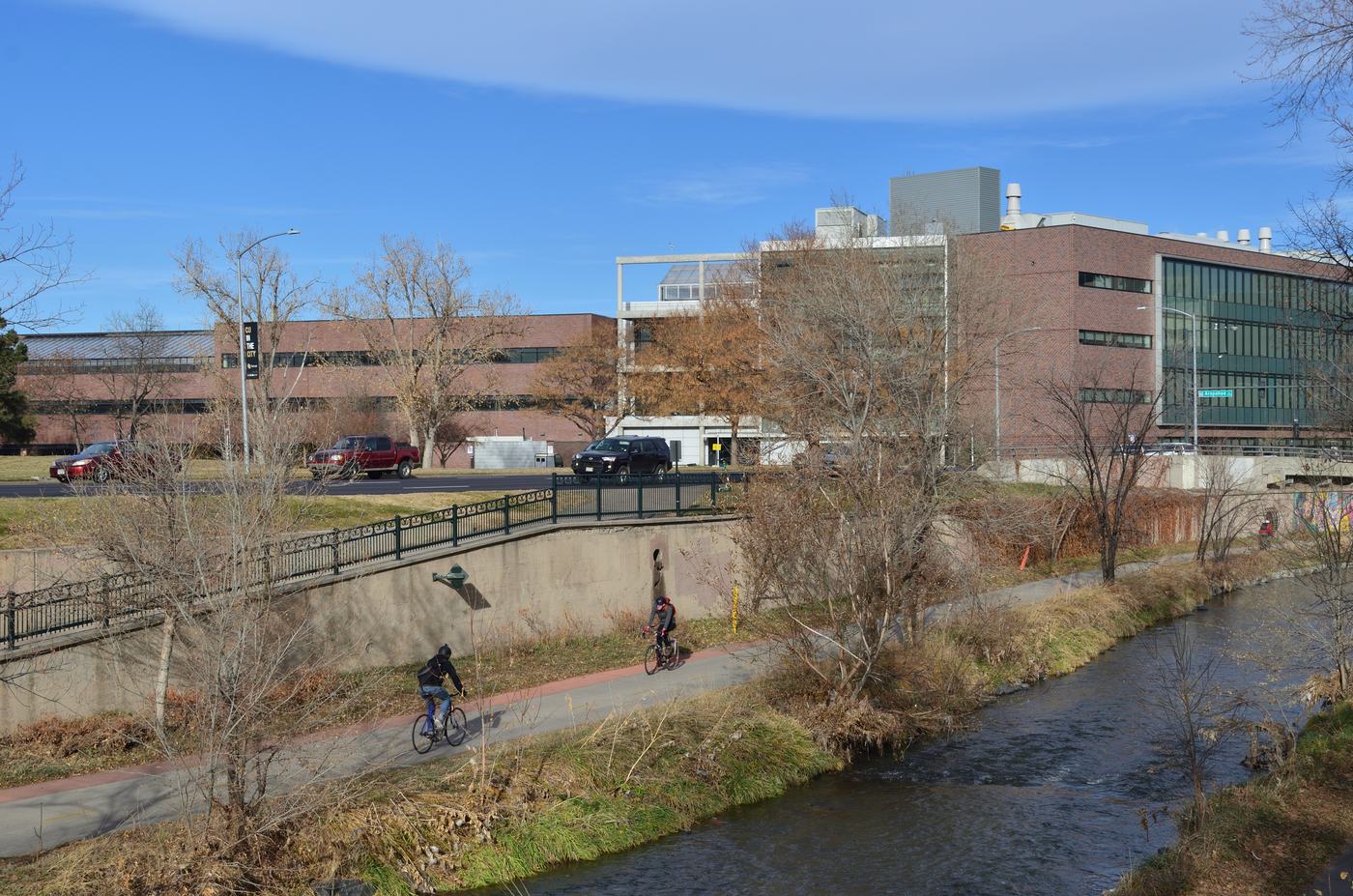
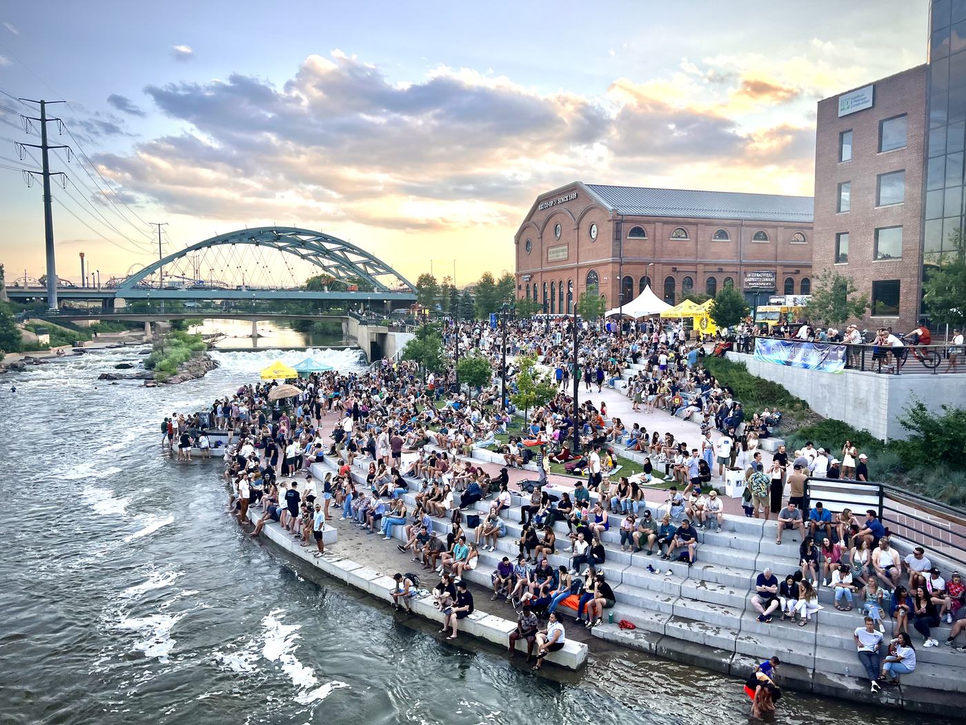
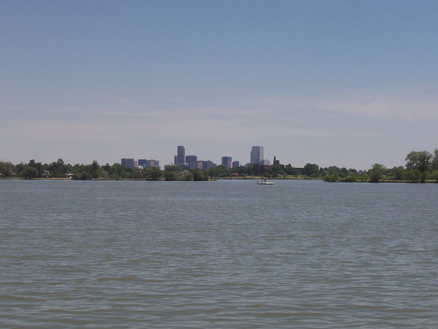
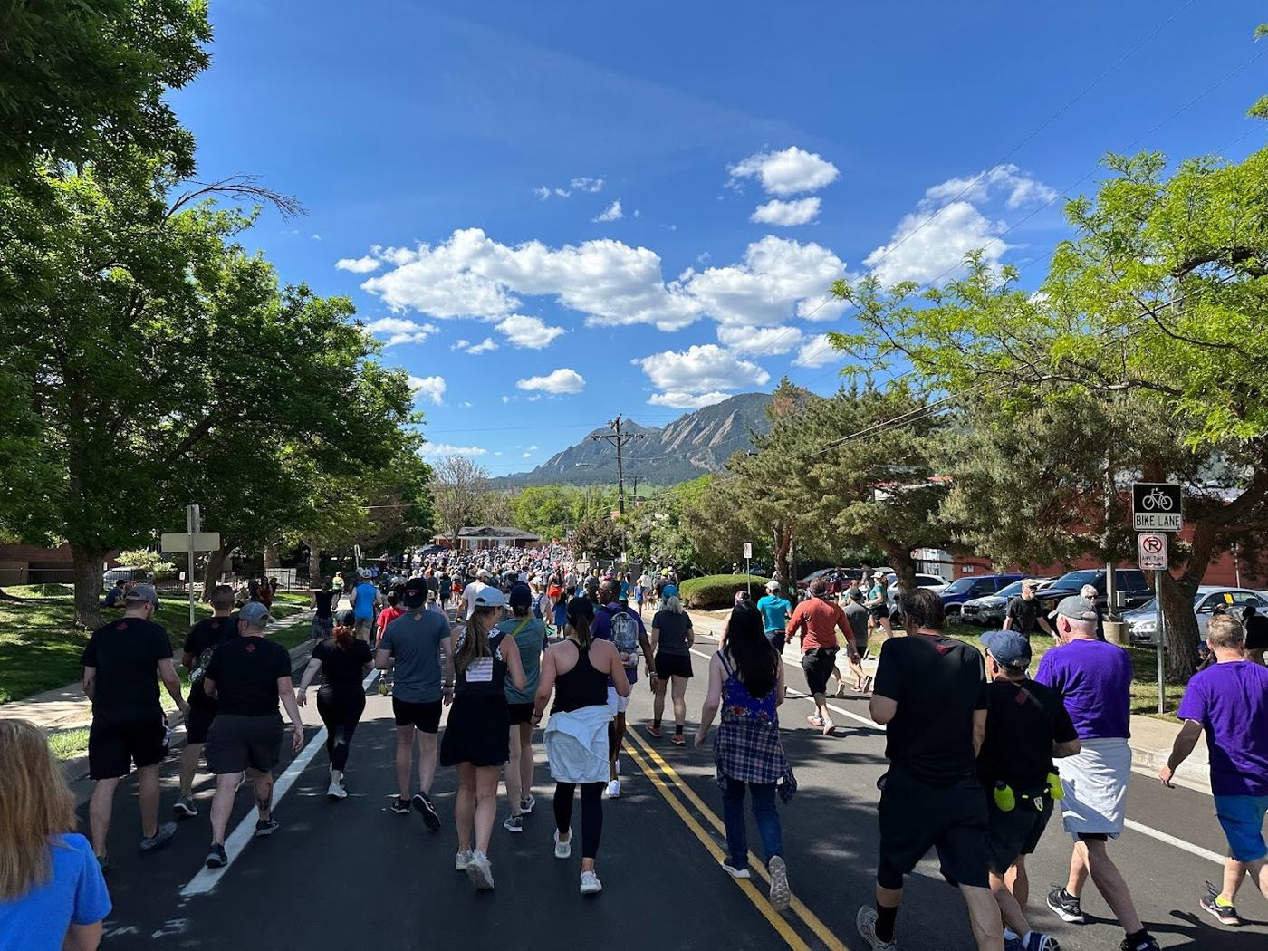
D. The voice in your head
Everyone finishes. Nobody feels done.
Not quotes from anyone specific. The general shape of what a lot of runners say to themselves at altitude, paraphrased, not attributed. The clock is honest. The voice rarely is.
E. The upgrade path
Colorado turns road runners into trail runners whether they planned on it or not.
F. Twelve months of running here
The calendar is part of the route.
G. The actual question
Can I run from my front door?
Not every Denver address answers yes. Some put a trailhead ten minutes out the door. Others put one behind a highway. This is the one question a listing sheet never answers and a runner never forgets to ask.
H. Runner index, Wash Park example
What we'd actually want to know about an address
busiestOf 3 major parks
These four are real and sourced. A true per-address index (door-to-dirt time, stoplight count, vertical gain, soft-surface percent) needs the address first. That is the whole next step.
Running-culture data: Strava's 12th Annual Year in Sport Trend Report (press.strava.com, Dec. 2025); RunSignup 2025 RaceTrends report; Diplo's Run Club (diplosrunclub.com and diplosrunclub.com/denver); Forbes, "2 Reasons 'Run Clubs' Are The Latest Social Hubs" (Sept. 2025). Boulder training groups: On Athletics Club and Tinman Elite public team pages; BOLDERBoulder history. Elevation: Denver 5,280 ft; Evergreen ~7,200 ft; Leadville 10,152 ft (public elevation records). Trail data: City and County of Denver Parks & Recreation, Colorado Mountain Club, High Line Canal Conservancy, Great Runs, AllTrails. Seasonal notes reflect general, widely reported Front Range conditions, not a forecast for any specific day. The pace-clock and pace-anxiety sections are illustrative, not a performance study. Photography via Wikimedia Commons, credited at each image, used under CC0, public domain, or CC BY/CC BY-SA license. Published September 2026.
Send me an address.
I'll show you the part the listing doesn't.
Door to dirt, real trail access, the route you'd actually run. Not a Realtor pitch, a runner's read on the block.
Start Now